|
|
|
|
|
|
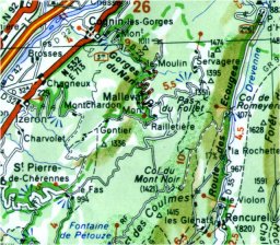
Here is another verdant ride in "The Vercors". From Isere valley, we are going to climb in "The Vercors" once again to "Col du Mont Noir". This ride uses a little road, which is in the south of "Col de Romeyere" one. "Col du Mont Noir" is one of the highest roads on the plateau where you may ride with a standard bike, without using a mountain bike. After this pass, we will descent to "Col de Romeyere" to join the road already described in my web site. So, we start the ride in "Cognin Les Gorges", a little village between "Saint Gervais" and "Izeron". Are you ready ?
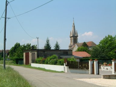
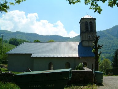
Here is "Cognin Les Gorges", and its church...
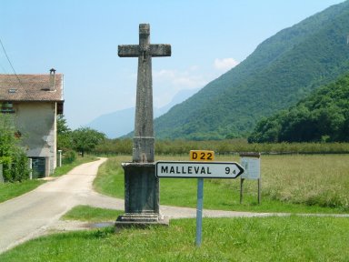
Exit from the village, take the road called D22 towards "Malleval". There are 9,4 kms until "Malleval" but more until "Col du Mont Noir". We are at 230 meters of altitude and we are going to climb 1200 meters. For the moment, the weather is nice...
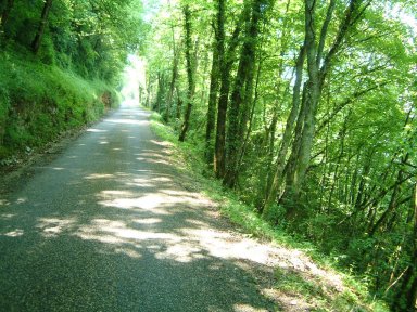
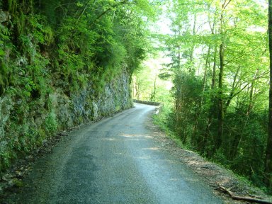
Before entering in the forest, the road is flat but during a short moment. After the climb is a little steep as shown on the photo after the second bend. At this place, we are already at 375 meters of altitude...
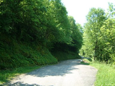
The road becomes narrow and the climb continues. I hope you enjoy the shadow to recover...
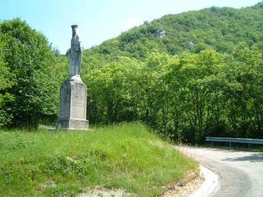
At the third bend, you will see a Blessed Virgin statue...
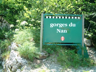
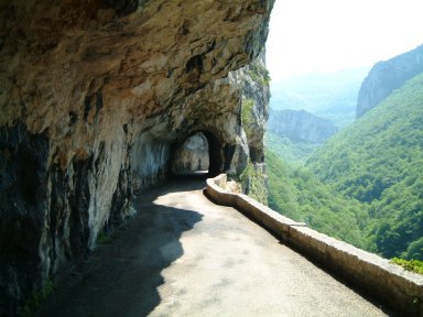
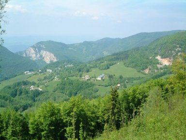
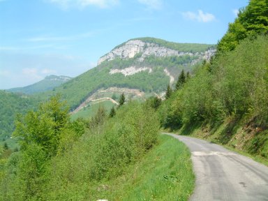
One kilometer later, after having passed "Le Chapeau de Napoleon", we are ready to enter in "Gorges du Nan". Be careful, the point of view will be spectacular during a short time...
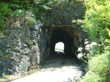
Here is a first tunnel. Don't be afraid, you don't need light to go through...
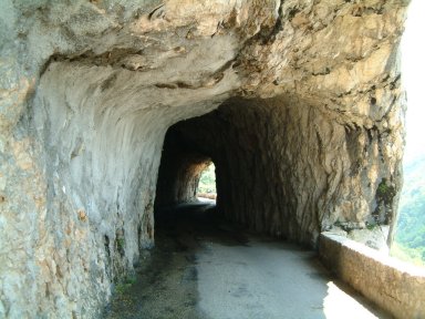
After this tunnel, the road is cut in the rocks. What a beautiful road! If you ride this climb during summertime, perhaps you will see swifts or swallows which build their nest in the holes of the rocks...
Here is a second tunnel. Don't be afraid again...
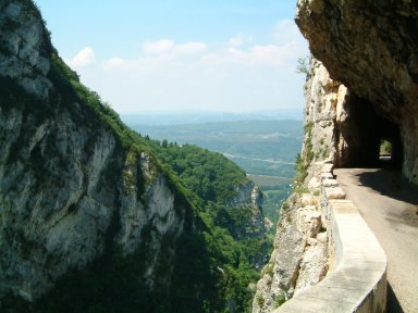
You aren't in a hurry! Return you and have a look to the Isere valley...
If you want to go back home before the night, you have to continue to pedal...
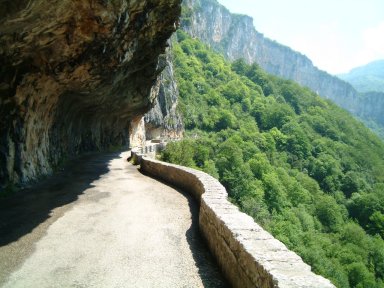
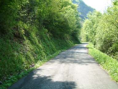
"Les Gorges du Nan" are not finished. Now the road becomes tiny and climbs again in the forest...
Before exiting to the forest, the road passes close to an old watermill and crosses "Canyon de la Serve". You are now outside the forest, you can see the road which continues to climb in front of you... You aren't yet arrived...
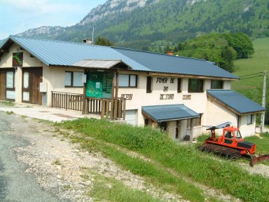
Nine kilometers after "Cognin Les Gorges", we arrived in "Malleval". It is a small village at 945 meters of altitude...
On your left, in the village, you will find this place where you may have a rest. You will find a spring to have water to recover...
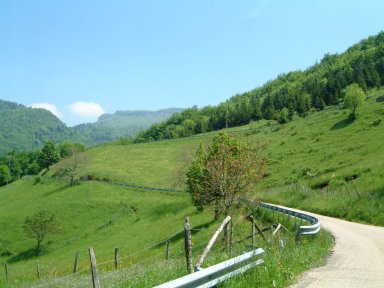
And the climb will continue after "Malleval" in the mountain... After three kilometers, you can see "Malleval" below...
You are alone in this area. The sun is with you, there is no car. It is a quiet place to ride...
You will find shadow places...
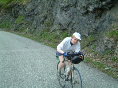
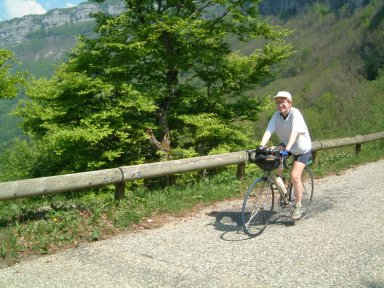
But this climb is not perhaps for you. The climb is terrible as shown on Isabelle's face...
Later, in despite of the climb, you will enjoy this quiet place...
We arrived at "Carrefour de Patente" at 1287 meters of altitude. You have to completed 2 kilometers and 140 meters of positive climb. Are you OK?
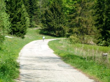
The climb becomes easy in the forest...
There are firs along the road...

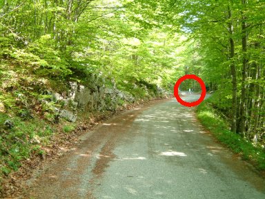
After seventeen kilometers of climb, we are going to arrive to the Col. The red circle shows you that a rider is waiting for you...
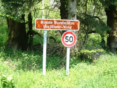
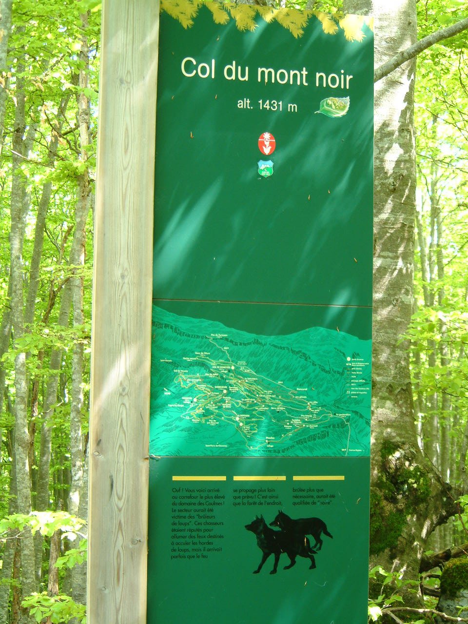
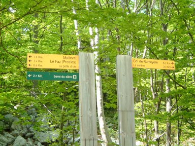
Please notice the little white rock piece along the road. It is typical in the Vercors. And here is the sign of the Col, a very little sign, in the forest. We continue the ride towards "Col de Romeyere"
This is a point of view of the signs at the col. Take on your right towards "Col de Romeyere"...
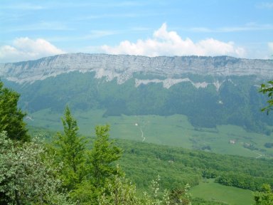
The road is not in a very good state. Be careful in the descent. In the descent, you will see theses mountains on your right. They are called "Les Roches de Meaudre" and the forest is called "Foret des Clapiers". On the other side of theses mountains, you will find Autrans and Meaudre, two towns well known for cross country skiing...
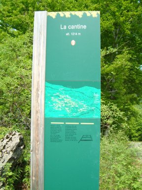
The descent continues towards a crossroads called "La Cantine"...
And we arrived to "Col de Romeyere" at 1074 meters of altitude...
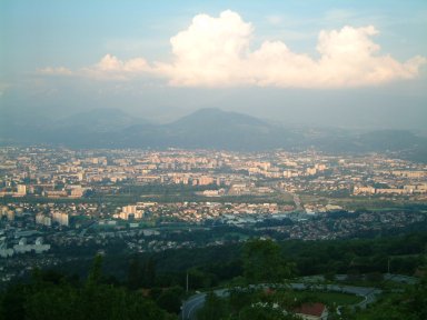
I propose to return to Grenoble by "Rencurel", "la Balme de Rencurel", "le Pont de Goule Noire" and "Gorges de la Bourne" before climbing "Col de la Croix Perrin" to descent in "Lans en Vercors". Here is a seesight of Grenoble, seen here from the descent coming from "Saint Nizier du Moucherotte"...
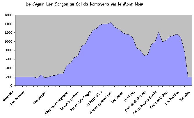
I hope this ride would have been useful for you. To finish, I give you a graphic spreadsheet of this ride...
|
Do you have feedbacks about "Gorges du Nan"
? |
|
|
Page ridden in July 2001 and written by Jean-Philippe BATTU February 2002 |
|
